- Air Homepage
- Weather Radar
- Causes of Lightning Thunder
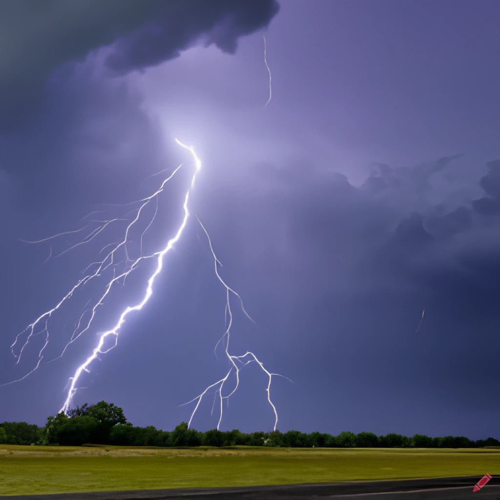
Instability – Causes of lightning thunder
Convective instability is one of the main causes of lightning thunder and storms. It comes in two types.
Search for more about weather.
Atmospheric instability: Unlocking the Storm ⚡What if I told you that thunder, lightning, and hail are all caused by a basic law of physics where cool air sits over moist warm air, ready to explode? Learn the precise rules of latent and potential energy that top meteorologists use to predict severe weather outbreaks by diving into the advanced world of convective instability.
You might have professional reasons to learn a bit more about these storms:
- If you're a meteorologist or other scientist working in a related area
- If you're concerned about public safety.
- If you're an engineer design buildings and infrastructure with these conditions in mind
- If you're a pilot or air traffic controller
- If you enjoy the outdoors and spend a lot of time outside
- If you're an emergency responder of any sort
- If you're in the insurance industry
But most of all...they're fun.
This is where the meteorologists with more experience work. Why? Here's where some diagnosis, decision making and conclusions come into play.
1. Latent Instability
A situation where an upward moving air parcel ends up warmer than its surroundings at ANY level above. Even if it's not right above. Latent heat from moisture condensation makes this possible. Before they even take meteorology, students learn this law of thermodynamics in physics and chemistry courses.
A tephigram or skew-T log-P chart is a quick way to check for latent instability. To follow along, you might want to print one off.
Instability occurs when any part of a sounding's temperature curve, on the right hand side, touches a pseudo-adiabatic curve that crosses the dewpoint temperature curve anywhere below. Lightning thunder and similar storms can be caused by a lot of things.
So what's a pseudo-adiabatic curve, also called a moist adiabat? On the chart, the curved lines sloping upwards STEEPLY to the LEFT. Meteorologists use this for a lot of things, like graphical wet bulb calculations. You can see it below.
How do you get this volatility? Summer is the most common time, but it can happen anytime. Let's start with the winter cases...
Heavy snow and squalls are more common than lightning, thunder, and hail. At this time of year, at temperate latitudes.
There's instability whenever we find cooler or drier air over warmer or wetter air. Several things can cause this in the winter.
Warm air moving over cold air. Air moves something horizontally (like heat) by advection. This kind of instability is caused by a lot of heat and moisture in the lower layers. Near big lakes, it's the biggest cause of lightning, thunder, and snow squalls in winter.
Infra-red radiation also cools near cloud tops. At this level, heat leaves the air and makes the atmosphere top-heavy, causing quite a stir sometimes.
What about summer? Many regions have more convective storms in the summer. The two mechanisms already mentioned still work, but one more becomes very important.
Incoming sunlight heats up the surface. Lightning and thunder are the most common causes of severe weather. Those sunny days heat the ground and air at the bottom, making it easy for surface air to stay warmer than upper air if lifted. There's also a chance for surface convection. Surface convection gives you a deeper cell than elevated convection.
Now that we know what latent instability is, what about the other types?
2. Potential Instability (PI)
It's also called convective instability.
A complete layer goes uphill or overrides colder air. This usually happens during a front. You can make an entire layer of air unstable by pushing it up. If certain conditions are met, it will.
What's the deal with the moisture? When you lift a layer, it gets deeper. Because the pressure difference between top and bottom remains constant, but now stretches over a bigger vertical distance.
What do you think? By lowering the pressure, you'll increase the volume (size) of the air. For enclosed gases, Boyle's Law thermodynamics says that the product of temperature and pressure doesn't change. It is maintained at a constant volume.
The layer follows the moist adiabat upward if it's saturated. From top to bottom.
Though this adiabat is a curve, it gets less steep as you go higher. So the top of the layer gets shoved leftward more than the bottom, making that part of the environmental sounding tilt even more to the left. On the chart, increased instability looks like that.
Lifting won't do much if the layer isn't saturated. At least part of it will get saturated if you lift it enough.
What if only part of the layer is saturated? That part will move to the left MUCH slower if it's near the bottom, since saturated air cools slower when it decompresses. We can expect sudden sharp instability and spontaneous convection then. Lightning thunder and active weather are also caused by this.
A lifting layer can become more stable if the moist part is near the top. That's weird.
But Wait...There's more
Conditional Instability of the Second Kind (CISK) - An atmospheric instability of the second kind occurs when the vertical shear of the horizontal wind exceeds a critical level in meteorology.
This type of instability is also called conditional symmetric instability (CSI), and it's characterized by sloping, cloud-filled layers or bands. Cloud bands often have a tilted orientation to the horizontal wind, and they can extend for miles.
Second-order instability arises from the interaction of horizontal and vertical motions of the atmosphere, which can lead to waves that propagate vertically and horizontally. It's possible for these waves to become unstable and break when the vertical shear of the horizontal wind is strong enough.
Weather and climate can be significantly affected by the instability of the second kind. In mid-latitude cyclones and frontal systems, it can contribute to precipitation and severe weather like thunderstorms and tornadoes.
Which Causes of lightning thunder and severe weather?
Let's see: Does the wet-bulb temperature decrease with height? By the usual method, figure out the wet-bulb temperatures at the top and bottom of the layer.
That's going up the moisture density line from the dew point and up the dry adiabat from the temperature. When the two paths meet, go down the wet adiabat back to the original pressure. That's your wet-bulb temperature.
We can now deduce the layer's wet-bulb profile. You've got it if it slopes backward (to the left) faster than moist adiabat! That's potential instability. Another of our causes of lightning thunder and convective weather.
Go back from Causes of Lightning Thunder to the
Chasing Storms page now.
#37
Search this site for more information now.
Lightning Thunder - Why Do They Occur?
What are the causes of lightning thunder and severe storms? Do air instability and convection appear out of nowhere? Possibly.
Do you have concerns about air pollution in your area??
Perhaps modelling air pollution will provide the answers to your question.
That is what I do on a full-time basis. Find out if it is necessary for your project.
Have your Say...
on the StuffintheAir facebook page
Other topics listed in these guides:
The Stuff-in-the-Air Site Map
And,
Thank you to my research and writing assistants, ChatGPT and WordTune, as well as Wombo and others for the images.
OpenAI's large-scale language generation model (and others provided by Google and Meta), helped generate this text. As soon as draft language is generated, the author reviews, edits, and revises it to their own liking and is responsible for the content.


New! Comments
Do you like what you see here? Please let us know in the box below.